
Geospatial Data Acquisition and Processing
Geospatial Data Acquisition and Processing is a crucial aspect of the Certificate in Geospatial Intelligence and OSINT, as it provides the foundation for extracting valuable insights from geospatial data. The process begins with data collec…
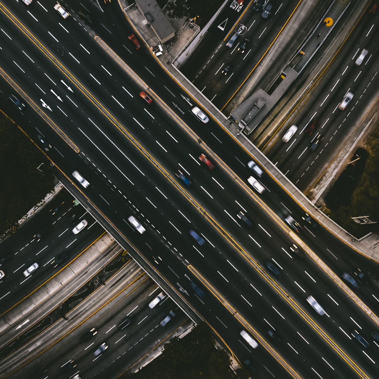
Geospatial Data Acquisition and Processing is a crucial aspect of the Certificate in Geospatial Intelligence and OSINT, as it provides the foundation for extracting valuable insights from geospatial data. The process begins with data collection, which involves gathering information from various sources such as satellite imagery, aerial photography, and ground-based sensors. The type of sensor used to collect data depends on the specific application and the required level of detail. For instance, multispectral sensors are used to collect data on the reflection of different wavelengths of light, while hyperspectral sensors collect data on a wider range of wavelengths.
The next step in the process is data preprocessing, which involves cleaning and correcting the collected data to ensure it is accurate and reliable. This step is critical, as any errors or inconsistencies in the data can affect the overall quality of the final product. Preprocessing techniques include radiometric correction, which involves adjusting the data to account for variations in lighting conditions, and geometric correction, which involves adjusting the data to account for distortions caused by the sensor or other factors.
Once the data has been preprocessed, it is ready for analysis. This involves using various techniques to extract meaningful information from the data. One common technique is image classification, which involves assigning a class or label to each pixel in the image based on its characteristics. For example, a supervised classification algorithm might be used to classify pixels as either urban or rural based on their spectral characteristics. Another technique is object detection, which involves identifying specific objects or features within the image, such as buildings or roads.
Geospatial Data Acquisition and Processing also involves working with vector data, which represents features as points, lines, or polygons. Vector data is often used to create maps and other visualizations, and can be used to analyze the relationships between different features. For example, a network analysis might be used to study the connectivity of roads or other transportation infrastructure. Vector data can also be used to perform spatial analysis, which involves studying the relationships between different features in terms of their location and proximity to one another.
In addition to working with raster and vector data, Geospatial Data Acquisition and Processing also involves working with remote sensing data, which is collected from satellites or other aerial platforms. Remote sensing data can provide valuable insights into the environment, including land use patterns, climate trends, and natural disasters. For example, multispectral remote sensing data can be used to monitor crop health and yield, while hyperspectral remote sensing data can be used to identify mineral deposits or other geological features.
The process of Geospatial Data Acquisition and Processing is not without its challenges. One of the main challenges is the sheer volume of data that is collected, which can be difficult to store and process. Another challenge is the quality of the data, which can be affected by factors such as atmospheric conditions, sensor limitations, and geometric distortions. Additionally, the interpretation of geospatial data requires a high level of expertise, as it involves understanding the context and significance of the data.
Despite these challenges, Geospatial Data Acquisition and Processing has a wide range of applications, including urban planning, environmental monitoring, and national security. For example, geospatial data can be used to monitor traffic patterns and optimize traffic flow, or to track climate trends and predict natural disasters. Geospatial data can also be used to support disaster response and recovery efforts, by providing critical information on damage extent and resource allocation.
In terms of tools and technologies, Geospatial Data Acquisition and Processing involves the use of a range of software and hardware platforms. For example, GIS software such as ArcGIS or QGIS is used to analyze and visualize geospatial data, while remote sensing software such as ERDAS or ENVI is used to process and analyze remote sensing data. Other tools and technologies include GPS devices, UAVs, and sensors, which are used to collect and process geospatial data in the field.
The future of Geospatial Data Acquisition and Processing is likely to be shaped by advances in technology, including the development of new sensors and platforms for collecting geospatial data. For example, the use of UAVs and satellites is becoming increasingly common, and is providing new opportunities for collecting high-resolution geospatial data. Additionally, the development of new algorithms and methods for analyzing geospatial data is likely to improve the accuracy and efficiency of geospatial data analysis.
In terms of best practices, Geospatial Data Acquisition and Processing involves a range of standards and protocols for collecting, storing, and analyzing geospatial data. For example, the use of metadata standards such as the FGDC metadata standard is important for ensuring that geospatial data is properly documented and described. Additionally, the use of quality control and quality assurance procedures is important for ensuring that geospatial data is accurate and reliable.
The importance of Geospatial Data Acquisition and Processing cannot be overstated, as it provides the foundation for a wide range of applications and uses. From urban planning to environmental monitoring, geospatial data is used to inform decision making and support policy development. As the volume and complexity of geospatial data continue to grow, it is likely that the importance of Geospatial Data Acquisition and Processing will only continue to increase.
In the context of OSINT, Geospatial Data Acquisition and Processing is used to support intelligence gathering and analysis. For example, geospatial data can be used to monitor troop movements and track equipment deployments. Geospatial data can also be used to identify patterns and trends in enemy behavior, and to predict future actions. The use of geospatial data in OSINT is likely to continue to grow, as it provides a unique perspective on events and activities on the ground.
The integration of Geospatial Data Acquisition and Processing with other int disciplines is also an important aspect of OSINT. For example, geospatial data can be combined with human intelligence and signals intelligence to provide a comprehensive picture of events and activities. Geospatial data can also be used to support cyber intelligence and network analysis, by providing context and location information for cyber events and network activities.
The use of Geospatial Data Acquisition and Processing in military operations is also an important aspect of OSINT. For example, geospatial data can be used to support mission planning and execution, by providing critical information on terrain, weather, and enemy positions. Geospatial data can also be used to support logistics and supply chain management, by providing location information and route optimization.
In terms of challenges, the use of Geospatial Data Acquisition and Processing in OSINT poses a number of technical and operational challenges. For example, the volume and complexity of geospatial data can make it difficult to store and process, and the need for real time analysis and dissemination can be a significant challenge. Additionally, the use of geospatial data in OSINT requires a high level of expertise and training, and the need for interoperability and standardization can be a significant challenge.
The future of Geospatial Data Acquisition and Processing in OSINT is likely to be shaped by advances in technology, including the development of new sensors and platforms for collecting geospatial data.
In terms of best practices, the use of Geospatial Data Acquisition and Processing in OSINT involves a range of standards and protocols for collecting, storing, and analyzing geospatial data.
The importance of Geospatial Data Acquisition and Processing in OSINT cannot be overstated, as it provides the foundation for a wide range of applications and uses. From intelligence gathering to mission planning, geospatial data is used to inform decision making and support policy development.
Key takeaways
- Geospatial Data Acquisition and Processing is a crucial aspect of the Certificate in Geospatial Intelligence and OSINT, as it provides the foundation for extracting valuable insights from geospatial data.
- The next step in the process is data preprocessing, which involves cleaning and correcting the collected data to ensure it is accurate and reliable.
- For example, a supervised classification algorithm might be used to classify pixels as either urban or rural based on their spectral characteristics.
- Vector data can also be used to perform spatial analysis, which involves studying the relationships between different features in terms of their location and proximity to one another.
- In addition to working with raster and vector data, Geospatial Data Acquisition and Processing also involves working with remote sensing data, which is collected from satellites or other aerial platforms.
- Additionally, the interpretation of geospatial data requires a high level of expertise, as it involves understanding the context and significance of the data.
- For example, geospatial data can be used to monitor traffic patterns and optimize traffic flow, or to track climate trends and predict natural disasters.