Autonomous Drone Navigation and Mapping
Autonomous drone navigation and mapping is a crucial aspect of AI-powered drone technology. It involves the use of sensors, AI algorithms, and other advanced technologies to enable drones to navigate and map their surroundings without human…
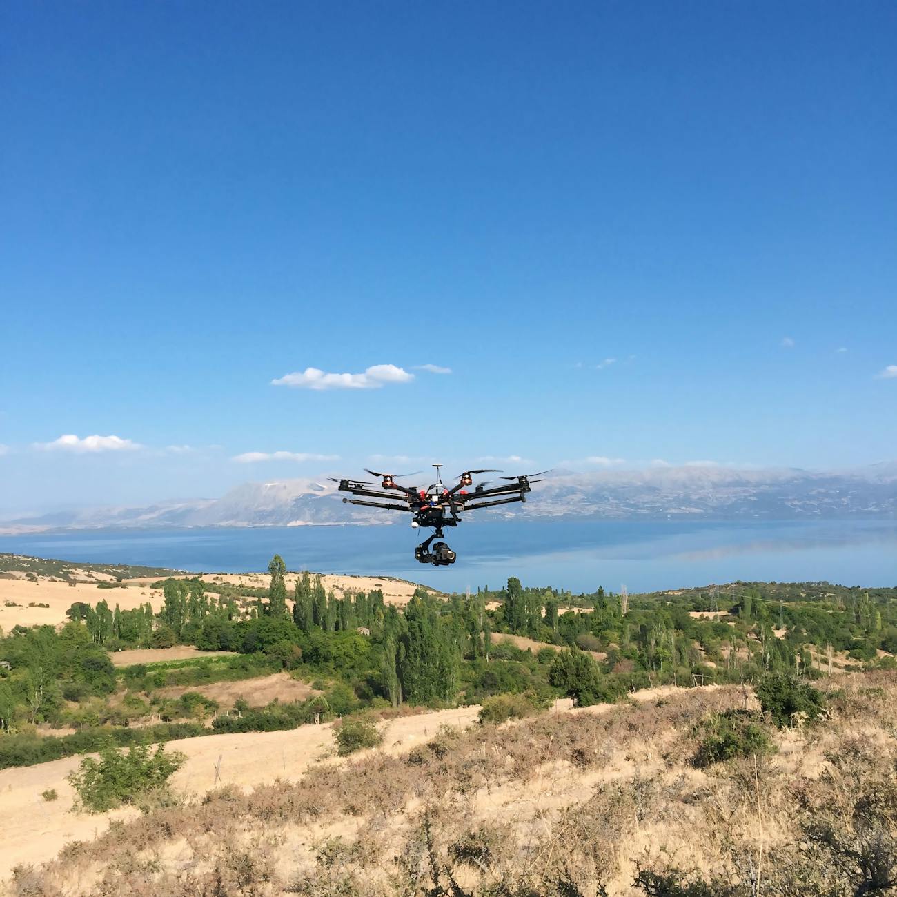
Autonomous drone navigation and mapping is a crucial aspect of AI-powered drone technology. It involves the use of sensors, AI algorithms, and other advanced technologies to enable drones to navigate and map their surroundings without human intervention. Here are some key terms and vocabulary related to this topic:
1. Autonomous Navigation: Autonomous navigation refers to the ability of a drone to navigate its surroundings without human input. This is achieved through the use of sensors, AI algorithms, and other advanced technologies that enable the drone to perceive its environment, make decisions, and execute actions in real-time. 2. SLAM (Simultaneous Localization and Mapping): SLAM is a technique used in autonomous drone navigation that involves creating a map of the drone's surroundings while simultaneously determining the drone's location within that map. This is achieved through the use of sensors such as cameras, lidar, and ultrasonic sensors that provide data about the drone's environment, which is then processed by AI algorithms to create a map and locate the drone within that map. 3. Lidar (Light Detection and Ranging): Lidar is a remote sensing method that uses laser light to measure distances to objects. It is often used in autonomous drone navigation for creating detailed 3D maps of the drone's surroundings. 4. Camera Sensors: Camera sensors are used in autonomous drone navigation to provide visual data about the drone's environment. They can be used for obstacle detection, object recognition, and mapping. 5. Ultrasonic Sensors: Ultrasonic sensors use sound waves to measure distances to objects. They are often used in autonomous drone navigation for close-range obstacle detection. 6. AI Algorithms: AI algorithms are used in autonomous drone navigation to process sensor data and make decisions about the drone's actions. These algorithms can be based on machine learning, deep learning, or other AI techniques. 7. Machine Learning: Machine learning is a type of AI that involves training algorithms to recognize patterns in data. In autonomous drone navigation, machine learning algorithms can be used to recognize objects, detect obstacles, and make decisions about the drone's actions. 8. Deep Learning: Deep learning is a type of machine learning that involves the use of artificial neural networks to analyze data. In autonomous drone navigation, deep learning algorithms can be used to create detailed maps of the drone's surroundings and make decisions about the drone's actions. 9. Artificial Neural Networks: Artificial neural networks are computer systems designed to simulate the way the human brain works. They are often used in deep learning algorithms for autonomous drone navigation. 10. Computer Vision: Computer vision is a field of AI that involves the use of algorithms to analyze visual data. In autonomous drone navigation, computer vision algorithms can be used for obstacle detection, object recognition, and mapping. 11. Object Recognition: Object recognition is the ability of a drone to identify and classify objects in its environment. This is achieved through the use of AI algorithms that analyze visual data from sensors such as cameras. 12. Obstacle Detection: Obstacle detection is the ability of a drone to detect and avoid obstacles in its environment. This is achieved through the use of sensors such as lidar, ultrasonic sensors, and cameras, combined with AI algorithms that analyze sensor data in real-time. 13. Path Planning: Path planning is the process of determining the optimal path for a drone to take to reach its destination. This is achieved through the use of AI algorithms that analyze map data and sensor data to determine the best path for the drone to take. 14. Mapping: Mapping is the process of creating a representation of the drone's surroundings. This can be achieved through the use of sensors such as lidar and cameras, combined with AI algorithms that analyze sensor data to create a map. 15. Geofencing: Geofencing is the use of GPS or RFID technology to create a virtual boundary around a designated area. In autonomous drone navigation, geofencing can be used to prevent drones from entering restricted areas. 16. Autonomous Inspection: Autonomous inspection is the use of drones for inspecting infrastructure such as bridges, pipelines, and wind turbines. This is achieved through the use of sensors and AI algorithms that enable the drone to navigate the infrastructure and detect any defects or issues. 17. swarm intelligence: Swarm intelligence is the collective behavior of decentralized, self-organized systems, such as a group of drones. In autonomous drone navigation, swarm intelligence can be used to enable a group of drones to work together to achieve a common goal, such as mapping a large area. 18. Visual Odometry: Visual odometry is the process of estimating the position and orientation of a camera by analyzing the motion of features in a sequence of images. In autonomous drone navigation, visual odometry can be used to determine the drone's position and orientation. 19. Collision Avoidance: Collision avoidance is the ability of a drone to detect and avoid obstacles in its environment. This is achieved through the use of sensors such as lidar, ultrasonic sensors, and cameras, combined with AI algorithms that analyze sensor data in real-time. 20. Autonomous Delivery: Autonomous delivery is the use of drones for delivering packages or other items. This is achieved through the use of sensors and AI algorithms that enable the drone to navigate to the delivery location and release the package.
Example:
Autonomous drone navigation and mapping are crucial aspects of AI-powered drone technology. With the help of sensors such as lidar, cameras, and ultrasonic sensors, drones can perceive their environment and make decisions about their actions in real-time. AI algorithms such as machine learning, deep learning, and computer vision enable drones to recognize objects, detect obstacles, and create detailed maps of their surroundings. Autonomous drones can be used for a variety of applications, such as autonomous inspection, swarm intelligence, visual odometry, collision avoidance, and autonomous delivery.
Practical Applications:
Autonomous drone navigation and mapping have numerous practical applications. For example, autonomous drones can be used for inspecting infrastructure such as bridges, pipelines, and wind turbines, providing a safer and more cost-effective alternative to traditional inspection methods. Autonomous drones can also be used for search and rescue missions, providing a quick and efficient way to locate missing persons or assess damage after a natural disaster. Additionally, autonomous drone delivery services are being developed, enabling the delivery of packages or other items to remote or hard-to-reach locations.
Challenges:
Despite the many benefits of autonomous drone navigation and mapping, there are also several challenges. One of the main challenges is ensuring the safety and reliability of autonomous drones. This requires the development of advanced sensors and AI algorithms that can accurately perceive the drone's environment and make decisions in real-time. Another challenge is regulatory compliance, as autonomous drones must comply with regulations related to airspace usage, privacy, and safety. Additionally, there are concerns about the potential misuse of autonomous drones, such as for surveillance or malicious purposes.
Conclusion:
Autonomous drone navigation and mapping are exciting and rapidly evolving fields of AI-powered drone technology. With the help of sensors, AI algorithms, and other advanced technologies, autonomous drones can navigate and map their surroundings without human intervention. While there are challenges to overcome, the potential benefits of autonomous drone navigation and mapping are numerous, from improving safety and efficiency in infrastructure inspection to enabling new applications such as autonomous delivery. As the technology continues to advance, we can expect to see even more innovative uses for autonomous drones in the future.
Key takeaways
- It involves the use of sensors, AI algorithms, and other advanced technologies to enable drones to navigate and map their surroundings without human intervention.
- SLAM (Simultaneous Localization and Mapping): SLAM is a technique used in autonomous drone navigation that involves creating a map of the drone's surroundings while simultaneously determining the drone's location within that map.
- AI algorithms such as machine learning, deep learning, and computer vision enable drones to recognize objects, detect obstacles, and create detailed maps of their surroundings.
- For example, autonomous drones can be used for inspecting infrastructure such as bridges, pipelines, and wind turbines, providing a safer and more cost-effective alternative to traditional inspection methods.
- This requires the development of advanced sensors and AI algorithms that can accurately perceive the drone's environment and make decisions in real-time.
- With the help of sensors, AI algorithms, and other advanced technologies, autonomous drones can navigate and map their surroundings without human intervention.