
Hydrological Modeling and Analysis
Hydrological Modeling and Analysis is a crucial aspect of hydro power engineering, as it allows engineers to predict and understand the behavior of water systems, such as rivers, lakes, and reservoirs. In this course, you will learn about k…
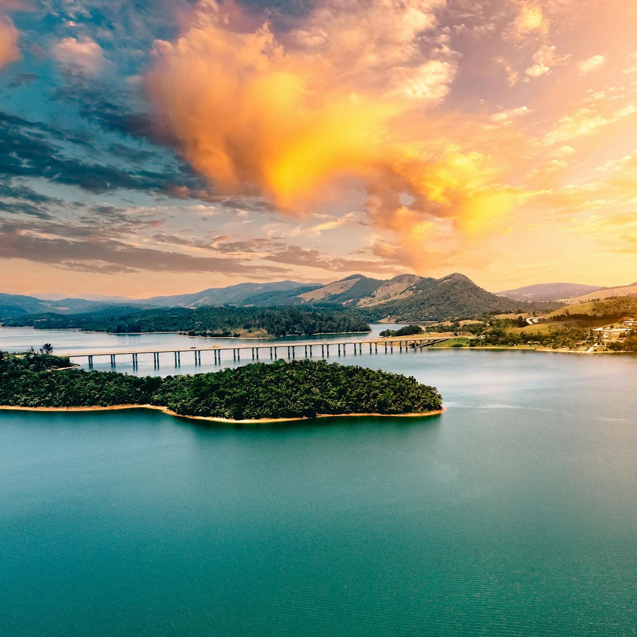
Hydrological Modeling and Analysis is a crucial aspect of hydro power engineering, as it allows engineers to predict and understand the behavior of water systems, such as rivers, lakes, and reservoirs. In this course, you will learn about key terms and vocabulary related to hydrological modeling and analysis that will help you in your studies and future career in the field of hydro power engineering.
1. **Hydrology**: This is the study of the distribution, movement, and properties of water on Earth. It includes the processes of precipitation, evaporation, infiltration, runoff, and groundwater flow.
2. **Hydrological Cycle**: Also known as the water cycle, this is the continuous movement of water on, above, and below the surface of the Earth. It involves processes such as evaporation, condensation, precipitation, and runoff.
3. **Hydrological Modeling**: This is the process of representing the behavior of a hydrological system through mathematical equations and computer simulations. Models are used to predict the response of a watershed to various inputs such as rainfall, temperature, and land use changes.
4. **Hydrological Analysis**: This involves the examination of data related to water resources, including precipitation, streamflow, groundwater levels, and water quality. Analysis helps to understand the characteristics and behavior of water systems.
5. **Watershed**: Also known as a catchment or drainage basin, a watershed is an area of land where all the water that falls within it drains to a common outlet, such as a river or lake. Watersheds are fundamental units for hydrological modeling and analysis.
6. **Runoff**: This is the portion of precipitation that flows over the land surface and eventually reaches rivers, lakes, and oceans. Runoff is a key component of the hydrological cycle and is influenced by factors such as soil type, land use, and slope.
7. **Infiltration**: This is the process by which water enters the soil and becomes groundwater. It is influenced by soil properties, vegetation cover, and precipitation intensity.
8. **Evapotranspiration**: This is the combined process of evaporation from the land surface and transpiration from plants. It is an important component of the water cycle and influences the availability of water in the atmosphere.
9. **Streamflow**: This is the flow of water in rivers and streams. It is measured in cubic meters per second (m3/s) and is influenced by factors such as precipitation, snowmelt, and land use changes.
10. **Hydrograph**: This is a graph that shows the variation of streamflow over time. Hydrographs are used to analyze the response of a watershed to rainfall events and to assess flood potential.
11. **Flood Frequency Analysis**: This is a method used to estimate the probability of different flood magnitudes occurring in a given time period. It helps in flood risk assessment and the design of infrastructure such as dams and levees.
12. **Drought Analysis**: This involves the study of prolonged periods of below-average precipitation and their impacts on water resources. Drought analysis helps in water resource management and planning for water scarcity.
13. **Water Quality Modeling**: This is the process of simulating the transport and fate of pollutants in water bodies. Models are used to assess the impact of human activities on water quality and to develop strategies for water pollution control.
14. **Groundwater Modeling**: This involves the simulation of the flow of water in underground aquifers. Groundwater models are used to assess the sustainability of groundwater resources and to optimize well placement and pumping rates.
15. **GIS (Geographic Information System)**: This is a technology that integrates geographic data, such as maps and satellite imagery, with hydrological information. GIS is used for spatial analysis, visualization, and decision-making in hydrology.
16. **Remote Sensing**: This is the collection of data from a distance, such as through satellites or drones. Remote sensing is used to monitor changes in land cover, snow cover, and river flow, providing valuable information for hydrological modeling and analysis.
17. **Hydraulic Modeling**: This is the simulation of water flow in rivers, channels, and hydraulic structures. Hydraulic models are used to design and optimize water infrastructure such as dams, weirs, and flood control systems.
18. **Climate Change Impact Assessment**: This involves the evaluation of how climate change is affecting water resources, including changes in precipitation patterns, temperature, and extreme weather events. Impact assessments help in adapting water management strategies to a changing climate.
19. **Sensitivity Analysis**: This is a technique used to assess how changes in input parameters affect the output of a hydrological model. Sensitivity analysis helps in identifying the most influential factors and improving the reliability of model predictions.
20. **Uncertainty Analysis**: This involves quantifying the uncertainty associated with model predictions due to factors such as input data errors and model simplifications. Uncertainty analysis helps in assessing the reliability of model results and in making informed decisions.
By understanding and applying these key terms and concepts related to hydrological modeling and analysis, you will be better equipped to analyze water resources, design hydro power systems, and address challenges such as floods, droughts, and water pollution. This course will provide you with the knowledge and skills needed to make informed decisions in the field of hydro power engineering and contribute to sustainable water management practices.
Key takeaways
- Hydrological Modeling and Analysis is a crucial aspect of hydro power engineering, as it allows engineers to predict and understand the behavior of water systems, such as rivers, lakes, and reservoirs.
- It includes the processes of precipitation, evaporation, infiltration, runoff, and groundwater flow.
- **Hydrological Cycle**: Also known as the water cycle, this is the continuous movement of water on, above, and below the surface of the Earth.
- **Hydrological Modeling**: This is the process of representing the behavior of a hydrological system through mathematical equations and computer simulations.
- **Hydrological Analysis**: This involves the examination of data related to water resources, including precipitation, streamflow, groundwater levels, and water quality.
- **Watershed**: Also known as a catchment or drainage basin, a watershed is an area of land where all the water that falls within it drains to a common outlet, such as a river or lake.
- **Runoff**: This is the portion of precipitation that flows over the land surface and eventually reaches rivers, lakes, and oceans.