Drone Data Acquisition and Processing
Drone Data Acquisition and Processing
Drone Data Acquisition and Processing
Drone data acquisition and processing are crucial components of utilizing drones in the oil and gas industry. Drones have revolutionized the way data is collected in various industries, including oil and gas, by providing efficient, cost-effective, and safe solutions for data acquisition. In this course, we will explore the key terms and vocabulary related to drone data acquisition and processing.
Key Terms
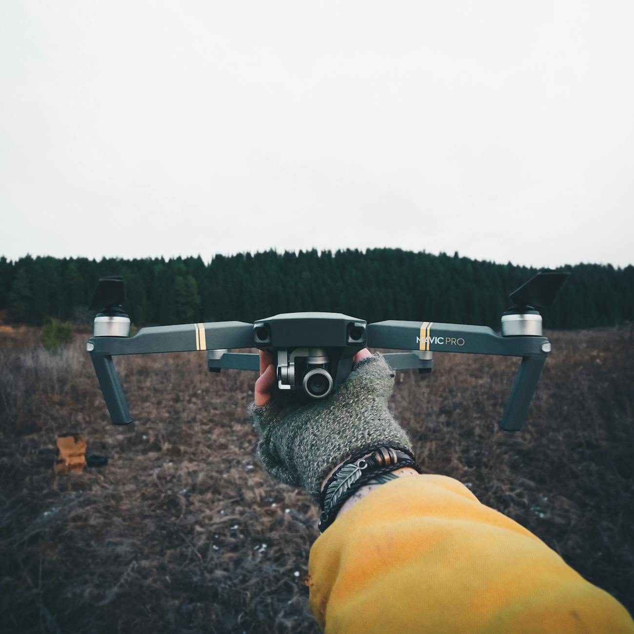
1. Drone: A drone, also known as an unmanned aerial vehicle (UAV), is an aircraft without a human pilot on board. Drones are controlled remotely or autonomously and are used for various purposes, including data acquisition in the oil and gas industry.
2. Data Acquisition: Data acquisition is the process of collecting data from various sources, such as sensors, drones, or other devices. In the context of drones, data acquisition involves capturing images, videos, and other types of data using onboard sensors.
3. Processing: Processing refers to the conversion of raw data collected by drones into usable information. This involves analyzing, interpreting, and visualizing the data to extract valuable insights for decision-making.
4. Orthomosaic: An orthomosaic is a detailed, georeferenced aerial image created by stitching together multiple overlapping images captured by a drone. Orthomosaics provide a high-resolution, accurate representation of the terrain or infrastructure.
5. Point Cloud: A point cloud is a collection of data points in a three-dimensional coordinate system. Drones equipped with LiDAR or photogrammetry sensors can capture point clouds of the terrain or structures, which can be used for various applications such as 3D modeling and volumetric analysis.
6. LiDAR: Light Detection and Ranging (LiDAR) is a remote sensing technology that uses laser pulses to measure distances to the Earth's surface. LiDAR-equipped drones can generate highly accurate elevation models and point clouds for mapping and surveying applications.
7. Thermal Imaging: Thermal imaging is a technology that captures infrared radiation emitted by objects to create images based on their temperature. Drones equipped with thermal cameras can detect anomalies in pipelines, equipment, or infrastructure by visualizing temperature differences.
8. Georeferencing: Georeferencing is the process of assigning geographic coordinates to spatial data, such as images or point clouds. This allows data collected by drones to be accurately positioned on a map or GIS system for analysis and visualization.
9. NDVI: Normalized Difference Vegetation Index (NDVI) is a remote sensing technique that uses the difference in reflectance between near-infrared and visible light to assess vegetation health. Drones equipped with multispectral sensors can capture NDVI images for monitoring vegetation in oil and gas sites.
10. GIS: Geographic Information System (GIS) is a software tool used for storing, analyzing, and visualizing spatial data. GIS can integrate drone-acquired data with other geospatial information to provide insights into oil and gas operations.
Vocabulary
1. Flight Planning: Flight planning involves determining the optimal path for a drone to follow during data acquisition missions. Factors such as terrain, obstacles, weather conditions, and regulatory restrictions are considered when planning drone flights.
2. Oblique Imagery: Oblique imagery refers to images captured by drones at an angle, rather than directly overhead. Oblique imagery provides a different perspective of the terrain or structures and can be useful for visual inspections or 3D modeling.
3. Ground Control Points (GCPs): Ground control points are known reference points on the Earth's surface with precise geographic coordinates. GCPs are used to georeference drone-acquired data and improve the accuracy of maps, orthomosaics, and point clouds.
4. Remote Sensing: Remote sensing is the science of collecting data from a distance using sensors mounted on drones, satellites, or other platforms. Remote sensing technologies, such as LiDAR and multispectral imaging, play a vital role in drone data acquisition in the oil and gas industry.
5. Regulatory Compliance: Regulatory compliance refers to adhering to laws, regulations, and guidelines set by aviation authorities when operating drones for data acquisition. Compliance ensures safe and legal drone operations in the oil and gas industry.
6. Data Integrity: Data integrity refers to the accuracy, completeness, and reliability of data collected by drones. Maintaining data integrity is essential for making informed decisions based on drone-acquired data in oil and gas applications.
7. Data Fusion: Data fusion is the process of combining data from multiple sources, such as drones, ground sensors, or satellite imagery, to create a comprehensive dataset. Fusion enhances the quality and richness of information for analysis and decision-making.
8. Automated Data Analysis: Automated data analysis involves using algorithms and machine learning techniques to process drone-acquired data efficiently. Automation speeds up data processing tasks, such as feature extraction, classification, and anomaly detection.
9. Real-Time Monitoring: Real-time monitoring enables operators to receive live data streams from drones during flight missions. Real-time data allows for immediate decision-making and situational awareness in oil and gas operations.
10. Data Visualization: Data visualization is the graphical representation of drone-acquired data to communicate insights effectively. Visualization tools, such as maps, charts, and 3D models, help stakeholders interpret complex data and trends.
Practical Applications
1. Asset Inspection: Drones are used to inspect oil and gas infrastructure, such as pipelines, well pads, and storage tanks, for signs of corrosion, leaks, or structural damage. High-resolution imagery and thermal cameras on drones can identify issues early and prevent costly repairs.
2. Environmental Monitoring: Drones equipped with multispectral sensors can monitor vegetation health, water quality, and land use changes in oil and gas sites. NDVI analysis helps operators assess environmental impacts and compliance with regulations.
3. Emergency Response: Drones are deployed during emergencies, such as oil spills or natural disasters, to assess the extent of damage, plan response efforts, and monitor recovery operations. Real-time data from drones aids in coordinating response teams and prioritizing resources.
4. Exploration and Surveying: Drones are used for exploring remote or hazardous areas in oil and gas fields to conduct geological surveys, map terrain, and identify potential drilling sites. LiDAR data collected by drones helps geologists and engineers plan exploration activities.
5. Security and Surveillance: Drones enhance security by monitoring critical infrastructure, detecting unauthorized access, and patrolling oil and gas facilities. Thermal imaging and night vision capabilities enable drones to perform surveillance tasks effectively.
Challenges
1. Regulatory Restrictions: Strict regulations govern the operation of drones in the oil and gas industry, including airspace restrictions, privacy concerns, and licensing requirements. Compliance with regulations adds complexity and cost to drone operations.
2. Data Processing Complexity: Processing large volumes of drone-acquired data, such as high-resolution imagery or point clouds, requires advanced software tools and expertise in data analysis. Managing data processing workflows efficiently is a challenge for operators.
3. Weather Conditions: Adverse weather conditions, such as high winds, rain, or fog, can affect the performance and safety of drones during data acquisition missions. Weather monitoring and contingency planning are essential to mitigate risks.
4. Data Security: Protecting drone-acquired data from cyber threats, data breaches, or unauthorized access is critical for maintaining data integrity and confidentiality. Implementing secure data storage and transmission protocols is essential for data security.
5. Interoperability: Integrating drone-acquired data with existing GIS systems, databases, or software platforms can be challenging due to compatibility issues and data formats. Ensuring interoperability between different systems is necessary for seamless data workflows.
Conclusion
In conclusion, understanding the key terms, vocabulary, practical applications, and challenges related to drone data acquisition and processing is essential for professionals working in the oil and gas industry. Drones offer innovative solutions for collecting data efficiently and safely, enabling operators to make informed decisions and improve operational efficiency. By mastering the concepts discussed in this course, professionals can leverage drones effectively in various oil and gas applications.
Key takeaways
- Drones have revolutionized the way data is collected in various industries, including oil and gas, by providing efficient, cost-effective, and safe solutions for data acquisition.
- Drones are controlled remotely or autonomously and are used for various purposes, including data acquisition in the oil and gas industry.
- Data Acquisition: Data acquisition is the process of collecting data from various sources, such as sensors, drones, or other devices.
- This involves analyzing, interpreting, and visualizing the data to extract valuable insights for decision-making.
- Orthomosaic: An orthomosaic is a detailed, georeferenced aerial image created by stitching together multiple overlapping images captured by a drone.
- Drones equipped with LiDAR or photogrammetry sensors can capture point clouds of the terrain or structures, which can be used for various applications such as 3D modeling and volumetric analysis.
- LiDAR: Light Detection and Ranging (LiDAR) is a remote sensing technology that uses laser pulses to measure distances to the Earth's surface.